The Granary
 (click on photo for a larger image in a new window)
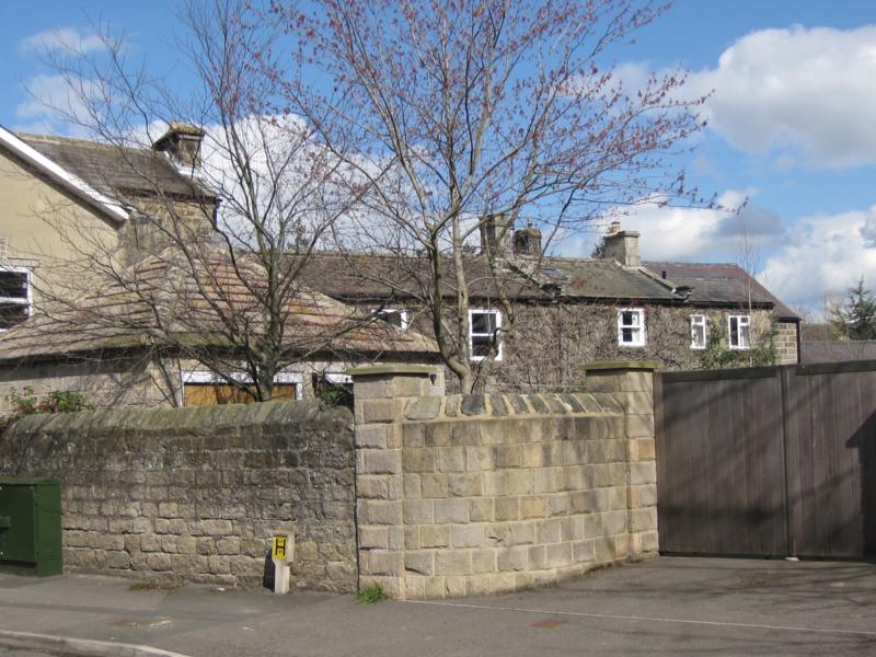
This stone-built end-of-terrace property forms part of a larger property ("The Hollies") to which it is physically attached and which extends eastwards away from Church Lane. In fact, the buildings which now form "The Hollies" seem clearly to have been separate dwellings at some time as this second photograph suggests.
 (click on photo for a larger image in a new window)
The roof line reveals the origins of the property as consisting of at least three or four buildings in addition to The Granary - observe the chimney stacks marking the end of each unit and the breaks in the continuity of stone courses. A final, larger, building completes the row but stands behind and slightly off-set from the row. All these buildings can be seen on the 1891 Ordnance Survey Map but about four decades earlier, on the map of 1853, it is only possible to discern The Granary and the first two buildings to its right and these are the buildings which have, apparently, the greatest age.
"Jeffrey's" map of 1770 appears to show The Granary and its adjacent terrace of buildings lining Church Lane but the map is crudely drawn and no great reliance can be placed upon it. It is, however, reasonable to assert that The Granary, at least, dates from the last quarter of the 18th century or the first quarter of the 19th.
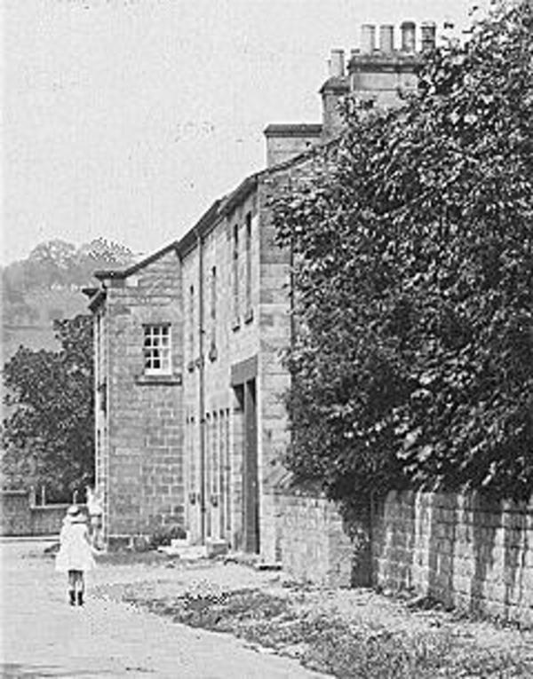
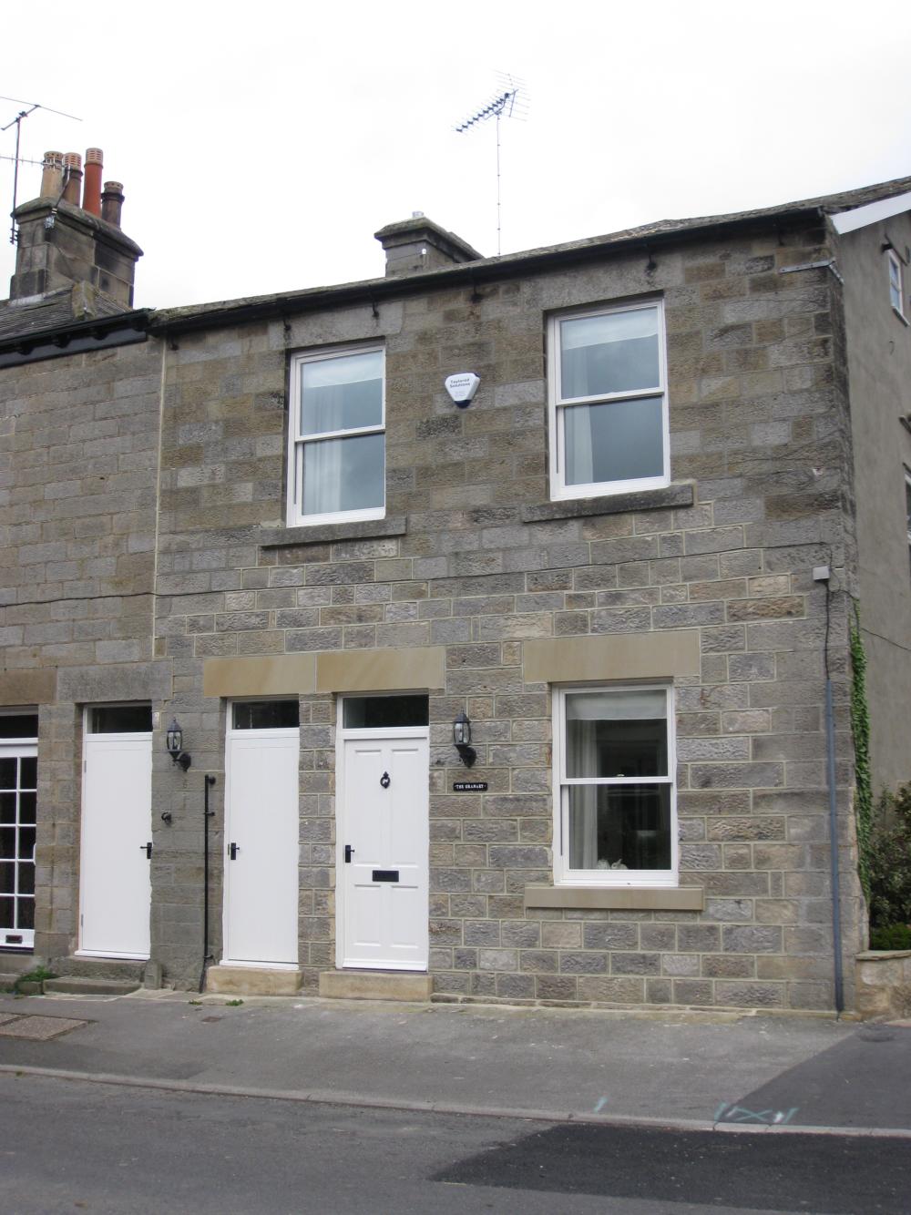
The Granary is thought to owe its name to its one-time use as a grain store and/or bakery. Until recent alterations its frontage was broken up into two large garage-like entrances of a height consistent with such a use. This photograph taken in 1968 (on the occasion of a flash flood!) shows two garage doors forming part of the façade.
 (click on photo for a larger image in a new window)
Notice the height of the openings - the garage doors do not fill them and a glazed area has been created over the doors. This height is, of course, consistent with the larger openings associated with barns or grain storage buildings. Another photograph from Victorian/Edwardian times shows an earlier arrangement of the openings.
 (click on photo for a larger image in a new window)
The building had a flight of stone steps leading up to the upper floor and there is some reason to believe this was an external stairway (see the entry for "Gooselea"). That, again, would be consistent with the building's origins as a barn or grain store. In recent years the first floor was used as a flat with the ground floor forming garage space. Recent building works have turned the structure into a dwelling with accommodation on three floors and the garage door spaces have been skilfully in-filled with stonework, a window and doors to blend with the houses to the north.
 (click on photo for a larger image in a new window)
The building has been put to various uses in its life-time and the upper rooms are remembered by villagers as the venue for meetings of the Girl Guides.
(Click here for information about
past owners)
Return to main map
 (click on photo for a larger image in a new window)