(from the village centre towards Hollins Hall) |
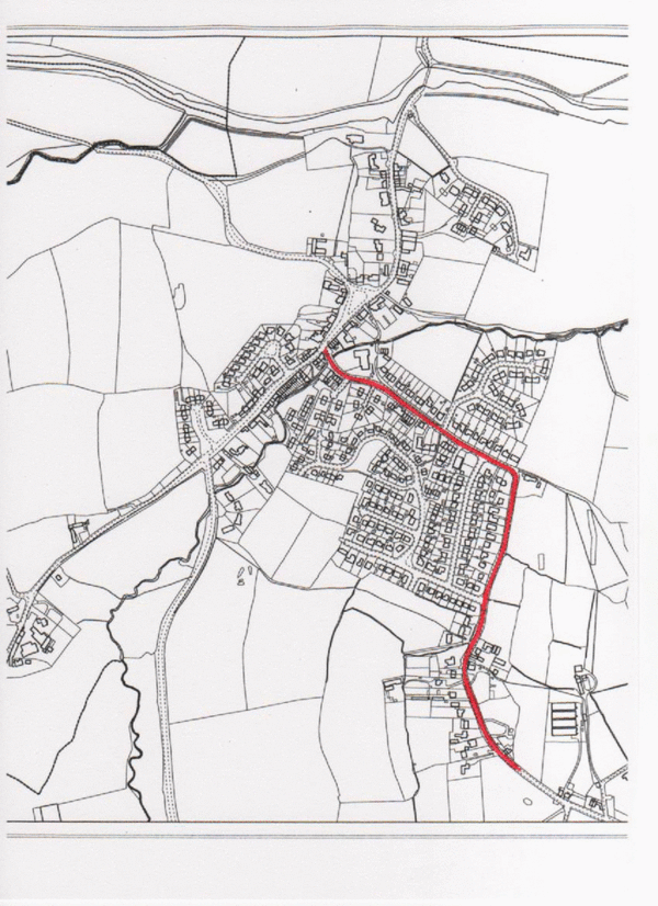 |
| Entering Hollins Lane from the village centre the motorist immediately encounters on the nearside the entrance to the large car park serving the Memorial Hall followed by a sharp (and blind) bend to the left . . . | 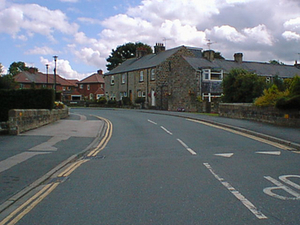 |
| . . . after which the view opens up to the next (right-hand) bend . . . | 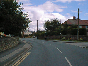 |
| . . . where the first long-distance view of the road is achieved.The regular presence of vehicles parked on the off-side of the road makes it frequently necessary to give way to oncoming vehicles in the nearside lane or to ensure that the drivers of approaching vehicles are themselves giving way. | 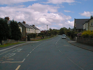 |
| The view along this remaining stretch of Hollins Lane is good but the driver passes three road junctions and numerous driveways before approaching . . . | 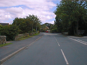 |
| . . . the sharp bend to the right . . . | 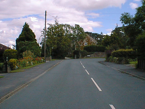 |
| . . . which is too acute to be negotiated at the permitted speed of 30mph without "drift" to the nearside or "cutting" the corner . | 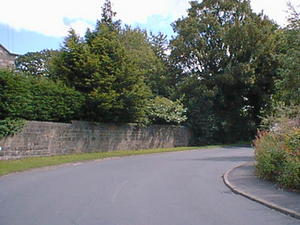 |
| Having negotiated the bend the motorist can see the road ahead for a considerable distance. The nearside fronts agricultural land but the offside is filled with houses and their driveways. | 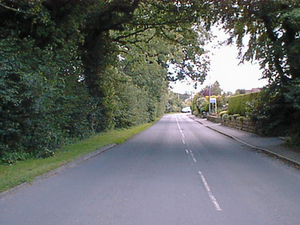 |
| Further along the road sweeps gently to the right . . . | 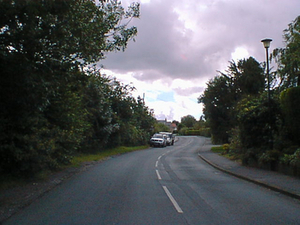 |
| . . . and then (at the junction with the entrance to the Brookfield housing estate) to the left. It is doubted if the visibility "splay" to Brookfield meets modern standards. | 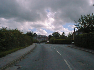 |
| Beyond the junction with Brookfield, Hollins Lane continues for only a short distance (and over a traffic-calming platform) before another left-hand (and "blind") bend occurs . . . | 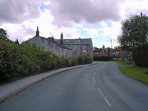 |
| . . . the view improving only . . . | 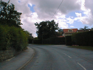 |
| . . . after the bend is cleared but ending at another left bend. | 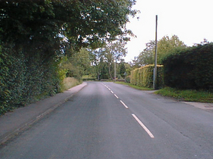 |
| At the bend is a road junction on the right and ahead can be seen the de-restriction signs. | 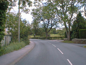 |
| Traffic approaching Hampsthwaite at this point . . . | 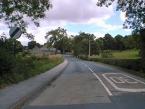 |
| . . . has a junction with driveways on the nearside and a restricted view into the right-hand bend ahead. | 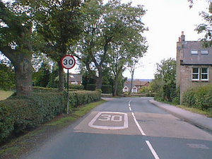 |
| A sign warns of the right-hand bend ahead and the word "slow" appears on the road surface . . . | 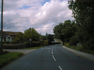 |
| . . . as the road continues to curve away . . . | 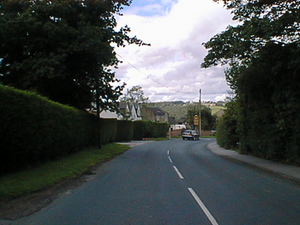 |
| . . . past more signs warning of the road junction ahead (that with Brookfield) and the road "hump".A further sign warns of a new road layout -does this refer to Brookfield and (if so) how much time needs to pass before the layout is "old"? | 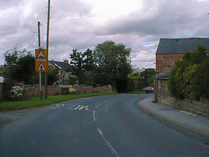 |
| The view approaching the left turn into Brookfield is totally obscured by high hedging on the nearside . . . | 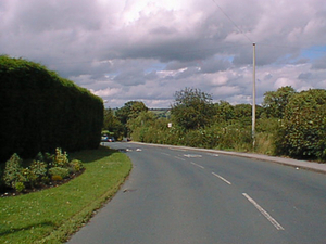 |
| . . . but thereafter is good and . . . | 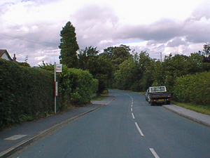 |
| continues so to the bottom of the slope. | 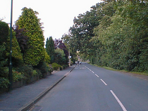 |
| The sharp left-hand bend at the bottom of the slope affords no view of oncoming traffic and (again) cannot be negotiated safely at 30mph. | 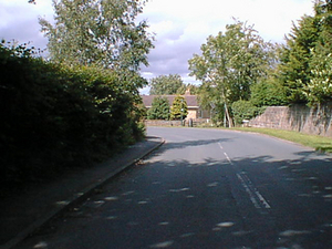 |
| As the road straightens out a good view is achieved . . . | 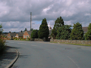 |
| . . . of the road ahead extending beyond the road junction on the left. | 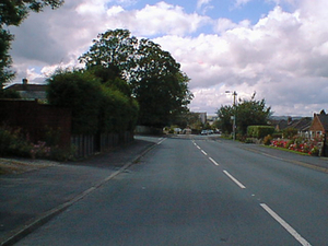 |
| Along this portion of Hollins Lane the road runs straight but is flanked by housing and side roads and invariably obstructed to a greater or lesser extent by parked vehicles on the nearside . . . necessitating . . . | 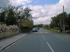 |
| . . . manouevres into the off-side lane . . . | 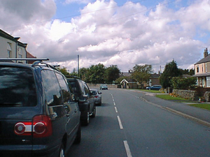 |
| . . . after which the roads curves left and then (sharply) right and out of sight. | 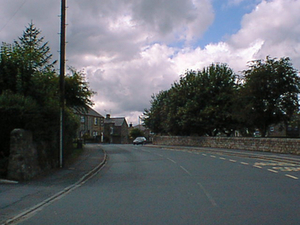 |
| This hazardous bend has a road junction on the left and the entrance to the Memorial Hall car park on the right before ending . . . | 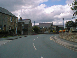 |
| . . . at the junction with Main Street where traffic must "stop" and where the views to left and right are seriously restricted. | 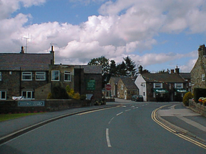 |
| |